Description
The design of the 1:50 000 Map Series provides clear and accurate portrayal of topographic information, with symbols and map content giving enhanced depiction of buildings, hill shading and a simplified classification of vegetation.
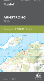
This map features more than 60km of rugged, windswept and isolated coastline contained within the Southwest Conservation Area. Along this coast numerous pristine beaches, coves and bays are only explored by fishing and recreation vessels or adventurous bushwalkers. Further inland large tracts of temperate rainforest and button grass moorlands are found in the low but hilly terrain. At the top of the map is Birchs Inlet, which further north connects to Macquarie Harbour.
- Edition: 1
- Production Year: 2021
- Datum: Geocentric Datum of Australia 2020 (GDA2020)