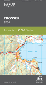
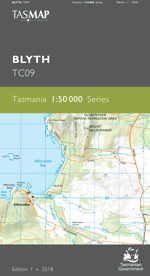
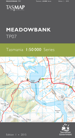
Description
The design of the 1:50 000 Map Series provides clear and accurate portrayal of topographic information, with symbols and map content giving enhanced depiction of buildings, hill shading and a simplified classification of vegetation.
This map features the historical mining towns of Avoca, Royal George and Rossarden, which serviced the zinc, lead, coal, tin and gold mining industry during the earlier part of the 20th century. Some mining activity still exists today. The prominent Fingal Valley and St Pauls Plains provide high quality pastoral land for sheep and cattle grazing. The area covers some prominent topographic features including South Esk and St Pauls rivers, St Pauls Dome and the foothills of Ben Lomond.
- Edition: 1
- Production Year: 2020
- Datum: Geocentric Datum of Australia 2020 (GDA2020)