Description
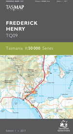
The design of the 1:50 000 Map Series provides clear and accurate portrayal of topographic information, with symbols and map content giving enhanced depiction of buildings, hill shading and a simplified classification of vegetation.
Boobyalla was a shipping port during the latter half of the nineteenth century. Coastal vessels ran regularly to the port, carting tin from the mines around nearby Mount Cameron. Little remains of Boobyalla with the area now used mainly as farming land. The seaside town of Tomahawk features a caravan park, boat ramp and small shops. A number of white sandy beaches stretch out along the regional coastline. For the holiday makers there are several camping sites in the Waterhouse Conservation Area with toilets and boat ramps.
- Edition: 1
- Production Year: 2019
- Datum: Geocentric Datum of Australia 1994 (GDA94)