Description
The design of the 1:50 000 Map Series provides clear and accurate portrayal of topographic information, with symbols and map content giving enhanced depiction of buildings, hill shading and a simplified classification of vegetation.
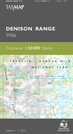
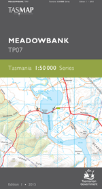
The map covers the remote, uninhabited area west of the Florentine Valley and the northern half of Lake Gordon. Most of the map area is Tasmanian Wilderness World Heritage Area where there are very few tracks. The Florentine Valley however is a labyrinth of production forest roads and for these reasons the map is an essential navigation aid.
- Edition: 1
- Production Year: 2015
- Datum: Geocentric Datum of Australia 1994 (GDA94)

