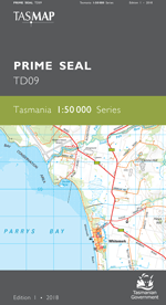
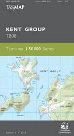
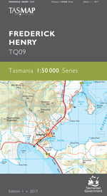
Description
The 1:50 000 Map Series provides clear and accurate portrayal of topographic information, with symbols and map content giving enhanced depiction of buildings, hill shading and a simplified classification of vegetation.
The area is dominated by the spectacular, eastern extremity of the Great Western Tiers. The map shows the approach from Tunbridge to Interlaken and the popular recreational destinations Lake Crescent and Lake Sorell (the later closed to fishing). The lower, valley plains, previously characterised by their dry land farming enterprises, are being developed into one of the State¿s largest irrigation districts.
- Edition: 1
- Production Year: 2016
- Datum: Geocentric Datum of Australia 1994 (GDA94)