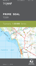
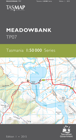
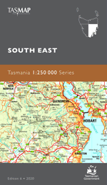
Description
The design of the 1:50 000 Map Series provides a clear and accurate portrayal of topographic information, with symbols and map content giving enhanced depiction of buildings, hill shading and a simplified classification of vegetation.
This map features Maria Island, off the east coast of Tasmania. The historic township of Darlington contains ruins of convict settlements from 1825-1833 and 1842-1850. In the 1880’s an Italian businessman, Diego Bernacchi, saw the potential of the island and began growing crops to produce wine and mining limestone to produce cement. After the closure of the cement works in 1930 the island remained a small farming and fishing community before being declared a national park in 1971. Maria Island offers a great wealth of natural beauty including the rugged peak of Bishop and Clarke, sandstone cliffs and picturesque beaches. The combination of its history and natural beauty attracts many visitors for historical experiences, bushwalking, camping, and boating.
- Edition: 1
- Production Year: 2021
- Datum: Geocentric Datum of Australia 2020 (GDA2020)