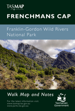
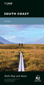
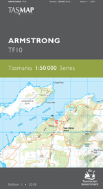
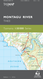
Description
The design of the 1:50 000 Map Series provides a clear and accurate portrayal of topographic information, with symbols and map content giving enhanced depiction of buildings, hill shading and a simplified classification of vegetation.
This map covers the far south west corner of Tasmania. Sitting at a latitude of 43 degrees, the rugged landscape has been shaped by strong roaring forties winds. The coastline consists of many pristine beaches and bays while further inland are the untouched De Witt and Propsting Ranges. The major river systems include the Hardwood, Crossing and Davey rivers. Davey River, stretching over 50km in length, attracts white water rafters and feeds into the Port Davey inlet. This area is remote and can only be accessed by foot, boat or air
- Edition: 1
- Production Year: 2021
- Datum: Geocentric Datum of Australia 2020 (GDA2020)