Description
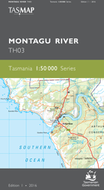
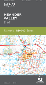
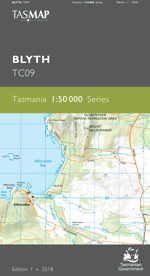
The design of the 1:50 000 Map Series provides a clear and accurate portrayal of topographic information, with symbols and map content giving enhanced depiction of buildings, hill shading and a simplified classification of vegetation.
Centred on the historic township of Buckland and bisected by the Tasman Highway, this map covers part of Mercury Passage and inland to timber production forests, conservation reserves and the sheep grazing districts of Woodsdale, Levendale, Runnymede, Buckland, Nugent and Rheban. The popular holiday township of Orford lies on the coast at the mouth of the Prosser River while the portside town of Triabunna is the gateway to the natural wonders and historic sites of Maria Island. An ideal map for holiday makers, fishers, walkers and explorers of this part of Tasmania’s east coast.
- Edition: 1
- Production Year: 2017
- Datum: Geocentric Datum of Australia 1994 (GDA94)