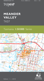
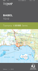
Description
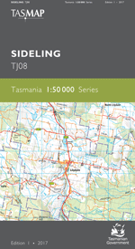
The 1:50 000 Map Series provides clear and accurate portrayal of topographic information, with symbols and map content giving enhanced depiction of buildings, hill shading and a simplified classification of vegetation.
This map is centred on the picturesque village of Lilydale in the foothills of Mount Arthur. Surrounded by a a mixture of native bushland, timber production forests and agricultural land the region has also attracted international attention for its wineries and manicured lavender fields which are major attractions for tourists and locals alike.
- Edition: 1
- Production Year: 2017
- Datum: Geocentric Datum of Australia 1994 (GDA94)

