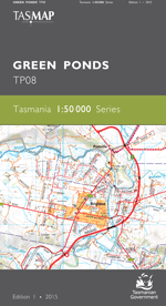
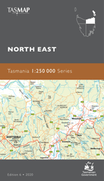
Description
The design of the 1:50 000 Map Series provides a clear and accurate portrayal of topographic information, with symbols and map content giving enhanced depiction of buildings, hill shading and a simplified classification of vegetation.
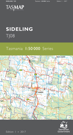
This map is centred on the extensive, internationally recognised wetland bearing that name. It also covers the tourist destinations of Coles Bay and the wine growing areas north of the historic township of Swansea. The map is an important navigational tool for those traversing the iconic Friendly Beaches and The Hazards of Freycinet National Park.
- Edition: 1
- Production Year: 2015
- Datum: Geocentric Datum of Australia 1994 (GDA94)