Description
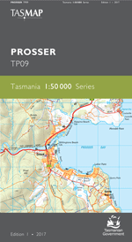
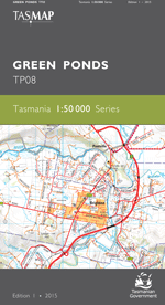
The design of the 1:50 000 Map Series provides a clear and accurate portrayal of topographic information, with symbols and map content giving enhanced depiction of buildings, hill shading and a simplified classification of vegetation.
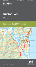
The map covers the historic township of St Marys, nestled beneath the impressive rocky outcrop of St Patricks Head. Stretching away to the west are the extensive grazing properties of the Fingal Valley, while to the north lies a vast network of timber production forests and regional reserves. On the coast is the popular leisure-seekers destination of Scamander, with its wide sandy beaches, riverside retreats and nearby reserves. With spectacular scenery, rich heritage, great bushwalking, leisure and fishing opportunities, this map is an essential navigational aid.
- Edition: 1
- Production Year: 2017
- Datum: Geocentric Datum of Australia 1994 (GDA94)

