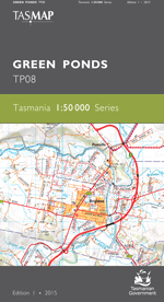
Description
The design of the 1:50 000 Map Series provides a clear and accurate portrayal of topographic information, with symbols and map content giving enhanced depiction of buildings, hill shading and a simplified classification of vegetation.
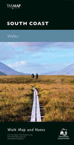
This map covers the wilderness areas stretching from Federation Peak, Bathurst Harbour, Cox Bight to the Ironbound Range. An essential map for walkers using the South Coast Track and Port Davey Track to access Melaleuca.
- Edition: 1
- Production Year: 2015
- Datum: Geocentric Datum of Australia 1994 (GDA94)