Description
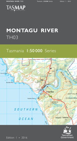
The design of the 1:50 000 Map Series provides clear and accurate portrayal of topographic information, with symbols and map content giving enhanced depiction of buildings, hill shading and a simplified classification of vegetation.
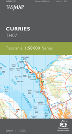
This map covers from Beechford to Greens Beach and includes Lefroy, George Town and Low Head. Low Head, on the peninsula at the mouth of Port Dalrymple, is about 7 kilometres north of George Town and is a popular destination for snorkeling and scuba diving, with extensive wide unspoiled beaches. While there you can also do penguin tours and view the oldest continuously used pilot station in Australia.
- Edition: 1
- Production Year: 2020
- Datum: Geocentric Datum of Australia 2020 (GDA2020)

