Description
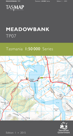
The design of the 1:50 000 Map Series provides a clear and accurate portrayal of topographic information, with symbols and map content giving enhanced depiction of buildings, hill shading and a simplified classification of vegetation.
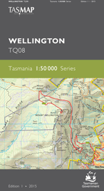
This map covers the greater Hobart area including the popular recreation areas of Wellington Range and Meehan Range. An ideal map for users wanting clear, accurate detail beyond the urban fringe of Hobart and an essential reference for emergency service organisations.
- Edition: 1
- Production Year: 2015
- Datum: Geocentric Datum of Australia 1994 (GDA94)

